Annapurna Region Elevation
There is no single elevation for the Annapurna Region.
This is the first thing to understand, and it is the most common misunderstanding. The Annapurna Region is a vast area spanning multiple climate zones, from subtropical valleys to the high Himalayas. Its elevation ranges from roughly 760 metres at Besisahar, the traditional starting point of the Annapurna Circuit, to the summit of Annapurna I at 8,091 metres.
When people search for the “Annapurna Region elevation,” they are usually looking for something more specific, often without knowing exactly how to ask for it. This guide will clarify every altitude-related question you might have, whether you are comparing trekking routes, concerned about altitude sickness, or simply curious about the geography.
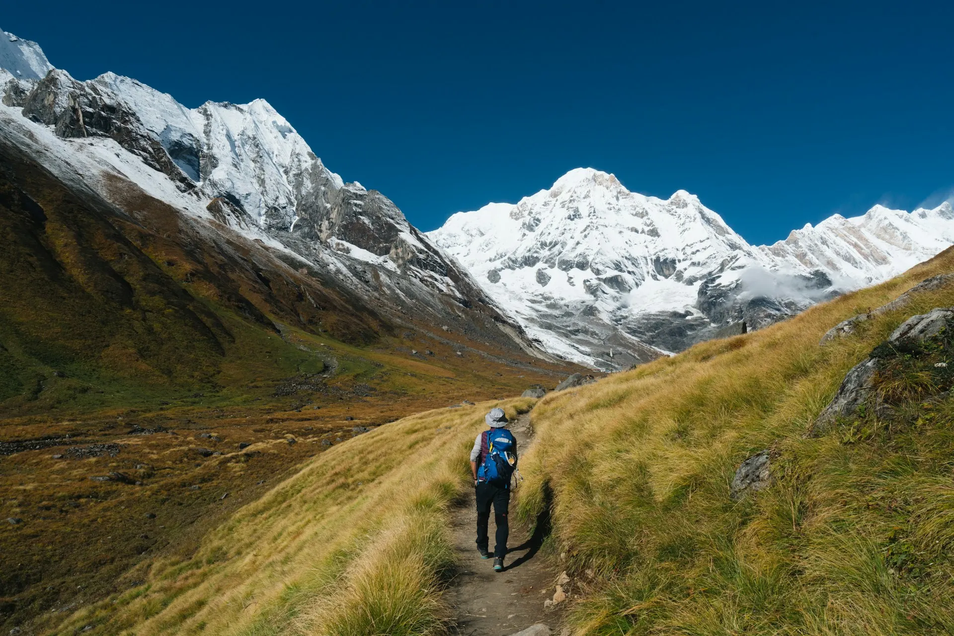
Annapurna Region Elevation: The Range
The Annapurna Conservation Area covers 7,629 square kilometres. The elevations within it range from the Marsyangdi River valley floor (around 760 metres) to the summit of Annapurna I at 8,091 metres, making it one of the most geographically diverse protected areas in the world.
For context, the Annapurna Region contains:
-
Annapurna I — 8,091 metres, the 10th highest mountain in the world
-
Annapurna II — 7,937 metres
-
Annapurna III — 7,555 metres
-
Annapurna IV — 7,525 metres
-
Annapurna South — 7,219 metres
-
Machhapuchhare (Fishtail) — 6,993 metres
-
Gangapurna — 7,455 metres
-
Tilicho Peak — 7,134 metres
-
Dhaulagiri — 8,167 metres (visible from the Circuit’s western side)
These are the mountain elevations—what you see from a distance. But when planning a trek, the figures that actually matter are quite different.
Why the Elevation Question Has No Single Answer
The key distinction is between mountain elevation and trekking elevation.
A non-trekker asking “Annapurna elevation” might mean the height of the mountain itself. A trekker asking the same question usually means the highest point they will reach, the altitude where they will sleep, or the elevation gain they must endure.
A practical example:
-
You can walk the Poon Hill route and sleep below 3,000 metres.
-
You can walk the Annapurna Circuit and cross Thorong La at 5,416 metres, nearly a kilometre higher than Everest Base Camp .
These are both in the Annapurna Region, and they have almost nothing in common in terms of altitude challenge.
Annapurna Trekking Elevations: The Numbers That Matter
The following table provides the key elevation figures for the most important locations in the Annapurna Region. These are the numbers that actually affect your trekking experience.
| Location | Approx. Elevation | Why It Matters |
|---|---|---|
| Besisahar | 760 m | Traditional starting point of the Annapurna Circuit |
| Pokhara | 827 m | Gateway city; most treks begin here |
| Poon Hill | 3,210 m | Famous sunrise viewpoint, accessible for beginners |
| Machhapuchhare Base Camp | 3,700 m | A lower-altitude base camp in the Sanctuary |
| Annapurna Base Camp (ABC) | 4,130 m | The goal of the ABC trek; a natural amphitheatre |
| Manang | 3,540 m | Key acclimatisation stop on the Annapurna Circuit |
| Thorong La Pass | 5,416 m | Highest point of the Annapurna Circuit |
| Muktinath | 3,710 m | Sacred temple, often the endpoint of the Circuit |
| Tilicho Lake | 4,919 m | One of the highest lakes in the world |
| Khopra Ridge | ~3,660 m | Less crowded viewpoint in the Annapurna Region |
| Mardi Himal Base Camp | 4,500 m | A shorter, high-altitude trek above Pokhara |
| Thorong Phedi | 4,550 m | Highest sleeping altitude on the Circuit |
| Yak Kharka | 4,018 m | Pre-pass acclimatisation stop |
Source: Cross-referenced from route data, travel medicine sources, and regional guides.
Elevation by Trek: A Direct Comparison
Different treks in the Annapurna Region offer very different experiences of altitude. The table below compares the key numbers side-by-side.
| Trek | Highest Point | Sleeping Altitude (Typical Max) | Total Distance | Cumulative Ascent | Difficulty Context |
|---|---|---|---|---|---|
| Poon Hill Trek | 3,210 m | ~2,900 m | ~35 km | ~1,500 m | Low altitude; suitable for beginners |
| Annapurna Base Camp (ABC) | 4,130 m | 4,130 m | ~70-100 km | 7,088 m | Moderate; highest sleeping altitude is the goal |
| Mardi Himal Trek | 4,500 m | ~4,500 m | ~30-40 km | ~2,500 m | Moderate; shorter but higher sleeping altitude |
| Khopra Ridge Trek | ~3,660 m | ~3,660 m | ~40 km | ~2,000 m | Low-moderate; less crowded alternative |
| Tilicho Lake Trek | 4,919 m | ~4,919 m | ~45 km | ~2,800 m | Strenuous; very high altitude without major acclimatisation stops |
| Annapurna Circuit | 5,416 m (Thorong La) | ~4,550 m (Thorong Phedi) | ~132 km | 15,124 m | Strenuous; high-altitude pass; requires proper acclimatisation |
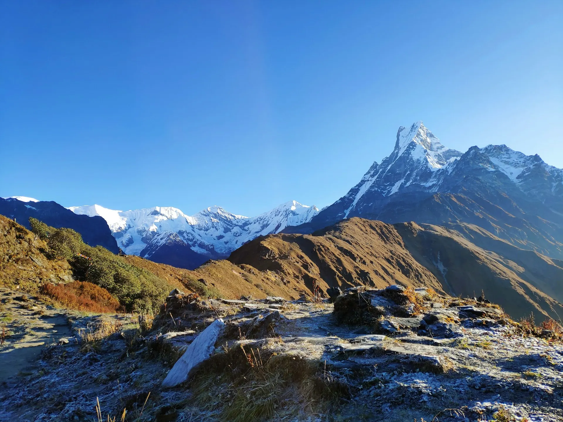
Annapurna vs Everest Base Camp Elevation
A common comparison is between the Annapurna Region and Everest Base Camp. The numbers are often misunderstood.
-
Everest Base Camp (South): 5,364 metres (some sources cite 5,380 metres)
-
Thorong La (Annapurna Circuit): 5,416 metres
Thorong La is actually 52 metres higher than Everest Base Camp . However, the Everest Base Camp Trek generally requires more time and involves more sustained altitude exposure.
The Annapurna Circuit’s highest point is the pass, meaning you cross it and descend the same day. On the Everest Base Camp Trek, you reach base camp and stay at a similar altitude for longer.
The key difference is sleeping altitude. On the Annapurna Circuit, the highest sleeping altitude is typically around 4,550 metres at Thorong Phedi , whereas on the EBC trek, you sleep at around 5,000 metres at Gorak Shep.
The Annapurna Circuit Elevation Profile: Stage by Stage
The Annapurna Circuit Trek is a journey through changing altitude zones that completely transform the landscape, weather, and trekking experience day by day. Understanding these altitude changes helps trekkers prepare mentally and physically for each stage of the adventure.
Lower Section: Kathmandu to Dharapani (1,310m to 1,860m)
This part is mostly a long jeep drive from Kathmandu to Chamje, followed by your first day of actual trekking to Dharapani. It’s warm, green, and easy on the lungs. You’re walking through river valleys along the Marsyangdi River, passing waterfalls and small villages. Altitude isn’t even a thought here.
Mid-Altitude Section: Chame to Manang (2,670m to 3,540m)
From Day 4 onwards the scenery shifts completely. Pine forests, snow-capped peaks in the distance, and colder mornings. The air starts feeling a bit thinner above 3,000 metres. You’ll notice it on uphills. This is the stage where trekkers start understanding why pace matters. Push too hard here and you’ll pay for it later.
High-Altitude Section: Yak Kharka to Thorong La Pass (4,050m to 5,416m)
This section is the genuine article. Dry scrubland, rocky terrain, and yaks grazing in the distance, with freezing nights. By Thorong Phedi you’re at 4,550 metres , and the air is seriously thin.
Some trekkers do an optional hike up to Thorong High Camp at 4,880 metres in the afternoon—it’s a smart acclimatization move before the big crossing. The pass crossing itself is a pre-dawn start, a steep climb, and an incredible reward at the top.
Descent Section: Muktinath to Pokhara (3,710m to 820m)
After crossing the pass, the descent to Muktinath feels easier. Every step down adds a little more oxygen back into your lungs. From Tatopani onward, there are hot springs, warm weather, and lush green trails again. The Ghorepani Poon Hill section adds a beautiful sunrise finale before the trek wraps up in Pokhara.
Annapurna Circuit Key Elevation Points
| Location | Elevation | Distance from Previous | Trekking Hours | Notes |
|---|---|---|---|---|
| Besisahar | 760 m | – | – | Low altitude, warm & humid |
| Dharapani | 1,860 m | 234 km drive | 8-9 hrs | Starting point after drive |
| Chame | 2,610 m | 15.5 km | 5-6 hrs | Apple orchards, pine forests |
| Upper Pisang | 3,300 m | 13.5 km | 5-6 hrs | First Himalayan panoramas |
| Manang | 3,540 m | 17.2 km | 7-8 hrs | Acclimatization; rest day recommended |
| Yak Kharka | 4,018 m | 10 km | 4-5 hrs | Altitude symptoms possible |
| Thorong Phedi | 4,550 m | 8.5 km | 4-5 hrs | Base of pass; highest sleeping altitude |
| Thorong La Pass | 5,416 m | – | 3-4 hrs | World’s highest trekking pass |
| Muktinath | 3,800 m | – | 3-4 hrs descent | Sacred Hindu & Buddhist site |
| Jomsom | 2,720 m | – | – | Windy – fly out option |
| Tatopani | 1,190 m | – | – | Lowest post-pass; natural hot springs |
The Tilicho Lake Side Trip
One of the most popular detours from the Annapurna Circuit is the side trip to Tilicho Lake, one of the highest lakes in the world at 4,919 metres .
Tilicho Route Elevation Points
| Location | Elevation | Distance | Notes |
|---|---|---|---|
| Manang | 3,540 m | – | Starting point |
| Siri Kharka | 4,060 m | 12 km | First overnight |
| Tilicho Base Camp | 4,150 m | 8 km | Second overnight |
| Tilicho Lake | 4,919 m | 5-6 hrs hike | The goal; world’s highest lake |
This side trip adds 2-3 days to your itinerary and reaches altitudes that require careful acclimatization. The trek from Siri Kharka to Tilicho Base Camp involves only 90 metres of elevation gain, but the final ascent to the lake is steep and challenging.
Annapurna Base Camp Elevation Profile
The Annapurna Base Camp trek is shorter and lower in altitude than the Circuit, making it more accessible for many trekkers.
Key Elevation Points on the ABC Route
| Location | Elevation | Distance | Trekking Hours | Notes |
|---|---|---|---|---|
| Nayapul | 1,070 m | – | – | Starting point |
| Birethanti | 1,263 m | – | – | Permits check |
| Ulleri | 1,960 m | – | – | Steep stone steps |
| Ghorepani | 2,880 m | – | – | Poon Hill side trip |
| Poon Hill | 3,210 m | – | – | Sunrise viewpoint |
| Tadapani | 2,630 m | – | – | Connecting route |
| Chhomrong | 2,165 m | – | – | Last major village |
| Bamboo | 2,310 m | 9 km from Chhomrong | – | Forested section |
| Deurali | 3,230 m | 7.3 km from Bamboo | – | High alpine zone |
| Machhapuchhare Base Camp | 3,700 m | – | – | Viewpoint |
| Annapurna Base Camp | 4,130 m | 9.2 km from Deurali | – | The goal |
The ABC trek requires about 7 to 14 days to complete and covers approximately 70-100 kilometres depending on the route chosen .
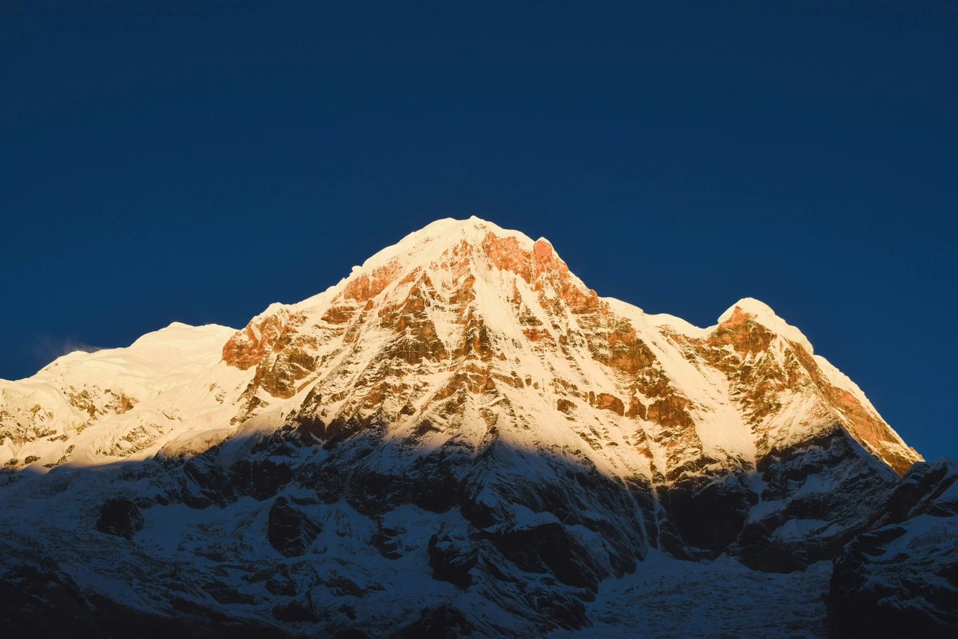
Route Variations
Via Poon Hill (Most Popular) :
This route combines cultural immersion with panoramic mountain views, adding 2-3 days to the itinerary. Elevation stages progress from Birethanti (1,263m) through Ulleri (1,960m), Ghorepani (2,880m), Poon Hill (3,210m), and Tadapani (2,630m) before joining the main ABC trail at Chhomrong.
Direct Route :
The direct route bypasses Poon Hill, offering a faster approach for trekkers with limited time. It progresses from Birethanti (1,263m) to Jhinu Danda (1,780m), Chhomrong (2,165m), Bamboo (2,310m), Deurali (3,230m), and finally ABC (4,130m).
Short ABC Trek :
A condensed itinerary requiring good fitness levels and rapid acclimatisation. Begins with a drive to Siwai (1,530m), then treks to Chhomrong (2,165m), Deurali (3,230m), and ABC (4,130m) before returning.
Altitude Sickness: The Practical Reality
Altitude illness is a risk at elevations above 2,500 metres. In the Annapurna Region, almost every trek reaches at least 3,000 metres, and some exceed 5,000 metres.
The risk factors are:
-
The altitude gained
-
The rate of ascent
-
The sleeping altitude
The single most important principle is to avoid increasing your sleeping elevation by more than 500 metres per day above 3,000 metres, and to take a rest day every three to four days.
Acclimatization in Practice
For example, on the Annapurna Circuit:
-
You sleep at Manang (3,540 metres) on Day 5 or 6.
-
Your next sleeping altitude should not exceed 4,040 metres.
-
A common strategy is to take an acclimatisation day at Manang, doing a short hike to a higher viewpoint and sleeping back in Manang.
On the ABC trek, the gain from Bamboo (2,310 metres) to Deurali (3,230 metres) in a single day is nearly 1,000 metres. This exceeds the recommended safe limit. Many trekkers break this into smaller increments or take an extra night at Himalaya (2,900 metres) .
Recognizing Altitude Sickness
Altitude sickness happens when your body doesn’t get enough time to adjust to lower oxygen levels as you go higher. At sea level, your blood is well oxygenated. At high altitude, it’s a different story.
Common symptoms include:
-
Headache
-
Nausea
-
Fatigue
-
Dizziness
-
Shortness of breath
If symptoms develop, the only reliable treatment is to descend to a lower altitude .
Acclimatization Best Practices
-
Gradual ascent: Gain no more than 400-500 metres of sleeping elevation per day above 2,500 metres
-
Hydration: Drink plenty of water; avoid alcohol and smoking at high altitude
-
Nutrition: Eat energy-providing meals such as dal-bhat, dry fruits, nuts, and chocolate bars
-
Rest days: Take a day off every 3-4 days at higher altitudes
-
Medical preparedness: Carry altitude medication like Diamox after consulting your doctor; ensure travel insurance covers helicopter evacuation above 4,000 metres
Physical Preparation
One or two months before your trek, engage in cardiovascular exercises:
-
Hiking to destinations above 1,500 metres
-
Cycling, running, swimming, jogging
-
Stair climbing to strengthen leg muscles
-
Mental preparation through yoga or meditation
How to Choose a Trek Based on Altitude
Your choice of trek should depend on your:
-
Experience with altitude
-
Available time
-
Fitness level
-
Risk tolerance
Beginners
-
Recommended: Poon Hill Trek (3,210 m maximum)
-
Why: You stay at low-enough elevations that the risk of altitude sickness is minimal. The highest sleeping altitude is around 2,900 metres.
Intermediate Trekkers
-
Recommended: Annapurna Base Camp (4,130 m)
-
Why: The altitude is manageable with a slow itinerary. The classic route gives you time to acclimatise by spending nights at successively higher elevations.
Experienced Trekkers
-
Recommended: Annapurna Circuit (5,416 m)
-
Why: This is a full-altitude trek. It rewards experience, patience, and proper planning.
Maximum Altitude, Minimum Time
-
Recommended: Mardi Himal (4,500 m)
-
Why: This is a shorter trek but reaches high altitude quickly. It is suitable for experienced trekkers with limited time.
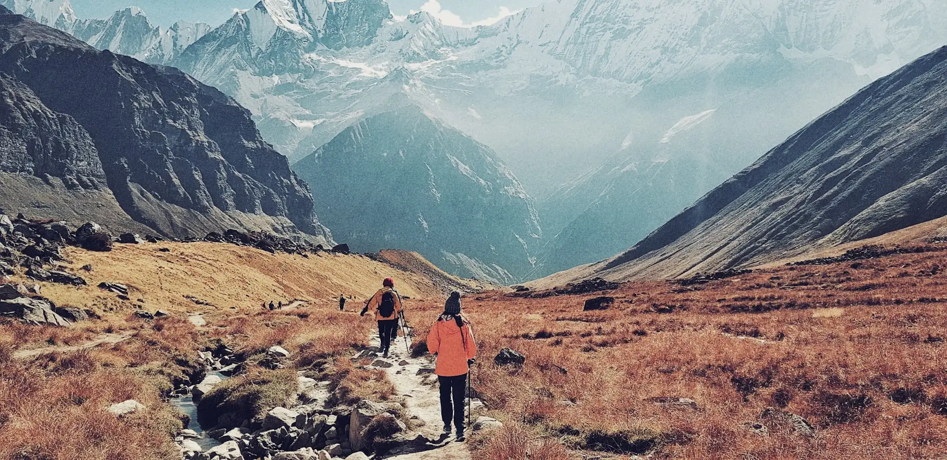
Thorong La Pass: The Crux of the Circuit
Thorong La Pass at 5,416 metres is the highest point of the Annapurna Circuit and one of the highest trekking passes in the world . Standing at the summit, surrounded by prayer flags and panoramic views of peaks like Khatung Kang, Yakawa Kang, and on clear days Dhaulagiri (8,167m), is something few experiences can match .
The Crossing Day
The crossing of Thorong La is the longest and most challenging day on the Annapurna Circuit. To reach the summit by mid-morning and avoid the afternoon winds, most trekkers set out at 4:00-5:00 AM. The walk down to Muktinath involves steep and loose terrain.
Thorong La vs. Cho La Pass
The Annapurna Circuit’s Thorong La is often compared to the Everest Region’s Cho La Pass :
| Feature | Thorong La Pass | Cho La Pass |
|---|---|---|
| Altitude | 5,416 m | 5,420 m |
| Terrain | Long, non-technical | Glaciated section; some technical terrain |
Thorong La is longer but fully non-technical, while Cho La has a glaciated section requiring more care .
Safety Warning
Thorong La Pass closes during heavy snowfall, typically November through early April. Always check conditions at the Thorong La weather station in Manang before your crossing day. Attempting the pass in white-out conditions has cost lives.
Elevation Gain: The Missing Metric
Many guides mention altitude but fail to explain elevation gain. This is the total amount of ascent you will accumulate over the whole trek. It affects physical exhaustion more than maximum altitude alone.
According to route data:
-
Annapurna Circuit: Approx. 15,124 metres of cumulative ascent
-
Annapurna Base Camp Trek: Approx. 7,088 metres of cumulative ascent
Walking the Annapurna Circuit is equivalent to climbing Everest (from sea level) nearly twice over, in terms of cumulative elevation gain.
This is why the Circuit is considered one of the most physically demanding classic treks in the world, despite its highest point being lower than some other Himalayan routes. The total journey often exceeds 130 kilometres in distance, with daily stages ranging from 8.5 to 17.2 kilometres and 4 to 8 hours of walking .
Beyond the Numbers: Weather, Terrain, and Seasonal Altitude Considerations
Understanding elevation figures is essential, but the experience of those altitudes changes dramatically with the seasons. The Annapurna Region’s elevation interacts with weather patterns in ways that significantly affect trail accessibility, safety, and comfort.
How Elevation Affects Weather
The Annapurna Circuit’s elevation gain from 760 metres to 5,416 metres means you traverse multiple climate zones . At lower elevations, temperatures can exceed 25°C during the day. Above 3,000 metres, night-time temperatures frequently drop below freezing, even during the peak trekking seasons.
The Thorong La Pass crossing at 5,416 metres is subject to sudden weather changes . Afternoon winds are common, and heavy snowfall can close the pass between November and early April. Even during the main seasons, checking the Thorong La weather station in Manang before your crossing day is essential.
Seasonal Trekking Windows
| Season | Months | Altitude Conditions | Suitability |
|---|---|---|---|
| Autumn | Sept-Nov | Clear skies, stable weather at all altitudes | Best for all routes |
| Spring | Mar-May | Warm lower elevations; snow clearing at high passes | Excellent, rhododendron blooms |
| Monsoon | Jun-Aug | Cloudy, wet at low altitudes; snow at high passes | Not recommended above 3,000m |
| Winter | Dec-Feb | Cold, snow at high passes; Thorong La often closed | Limited to lower routes like Poon Hill |
Permits and Access
The Annapurna Region requires two permits, both of which are altitude-agnostic but essential for access:
-
Annapurna Conservation Area Permit (ACAP): Required for all treks
-
TIMS (Trekkers’ Information Management System) card: Required for independent trekkers
These can be obtained in Kathmandu or Pokhara.
Route Planning and Logistics
Getting There
The Annapurna Circuit traditionally begins with a drive from Kathmandu to Besisahar (760m) or Dharapani (1,860m), a journey of approximately 8-9 hours covering 234 kilometres . For the ABC trek, you’ll drive from Kathmandu to Pokhara (827m), then continue to Nayapul or Siwai.
Accommodation and Teahouses
Teahouses are available at all major stopping points. At higher elevations (above 4,000 metres), facilities become more basic. Rooms may be unheated, and hot water for showers is not guaranteed. The highest teahouses are at Thorong Phedi (4,550m) and Tilicho Base Camp (4,150m) .
Side Trip: The Nar Phu Valley
For experienced trekkers seeking additional altitude challenge, the Nar Phu Valley side trip from the Annapurna Circuit crosses Kang La Pass at 5,300 metres . This adds 5-7 days and requires a special permit.
Key elevations in Nar Phu:
| Location | Elevation | Notes |
|---|---|---|
| Koto | 2,600 m | Starting point |
| Meta | 3,560 m | First overnight |
| Phu Village | 4,080 m | High village |
| Nar Village | 4,150 m | Pre-pass acclimatisation |
| Kang La Pass | ~5,300 m | Highest point |
Frequently Asked Questions about Annapurna Region Elevation
What is the elevation of the Annapurna Region?
The Annapurna Region ranges from approximately 760 metres at Besisahar to 8,091 metres at the summit of Annapurna I.
What is the highest point in Annapurna?
The highest point in the Annapurna Region is Annapurna I, at 8,091 metres. The highest trekking point is Thorong La Pass, at 5,416 metres .
How high is Annapurna Base Camp?
Annapurna Base Camp sits at 4,130 metres .
How high is Thorong La?
Thorong La is 5,416 metres (17,769 feet) above sea level .
Is Annapurna higher than Everest Base Camp?
Thorong La (5,416 m) is 52 metres higher than Everest Base Camp (5,364 m) . However, Annapurna I (8,091 m) is lower than Everest (8,848 m).
What is the elevation of Poon Hill?
Poon Hill is 3,210 metres .
What is the elevation of Tilicho Lake?
Tilicho Lake is approximately 4,919 metres .
What is the elevation of Manang?
Manang is 3,540 metres .
Can beginners trek at Annapurna’s altitude?
Yes, if they choose the Poon Hill trek, which stays below 3,300 metres. The Annapurna Circuit and ABC treks require a reasonable level of fitness and some knowledge of altitude-related risks.
At what elevation does altitude sickness become a concern?
Altitude sickness is a risk above 2,500 metres. Symptoms can occur as low as 2,500 metres, but are more common above 3,000 metres.
How quickly can you gain altitude safely?
Above 3,000 metres, you should avoid increasing your sleeping elevation by more than 500 metres per day .
What is the highest sleeping altitude on the Annapurna Circuit?
The highest sleeping altitude is typically at Thorong Phedi, at approximately 4,550 metres .
Which Annapurna trek has the lowest elevation?
The Poon Hill trek has the lowest maximum elevation at 3,210 metres.
Which Annapurna trek reaches the highest elevation?
The Annapurna Circuit reaches the highest elevation at Thorong La (5,416 metres) .
How should I prepare for high altitude in Annapurna?
Ascend slowly, include rest days in your itinerary, stay hydrated, eat energy-providing foods, avoid alcohol and smoking, and be prepared to descend if symptoms of altitude sickness develop . Do not ascend if you have a headache or other symptoms.
Planning Your Trek
Understanding the elevation of the Annapurna Region is not an academic exercise. It is the basis for choosing the right trek, packing the right gear, and keeping yourself safe.
The Annapurna Region offers everything from the gentle Poon Hill to the challenge of Thorong La. The key is not to maximise altitude, but to choose the right altitude for your experience and goals.
If you are planning a trek, consult a reputable Nepal-based company. Merriment Treks can help you choose an itinerary that suits your fitness level, experience, and available time. They provide route advice, logistical support, and local knowledge that makes a genuine difference in the quality and safety of your trek.