Hiking Places in Kathmandu
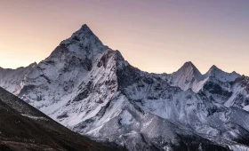
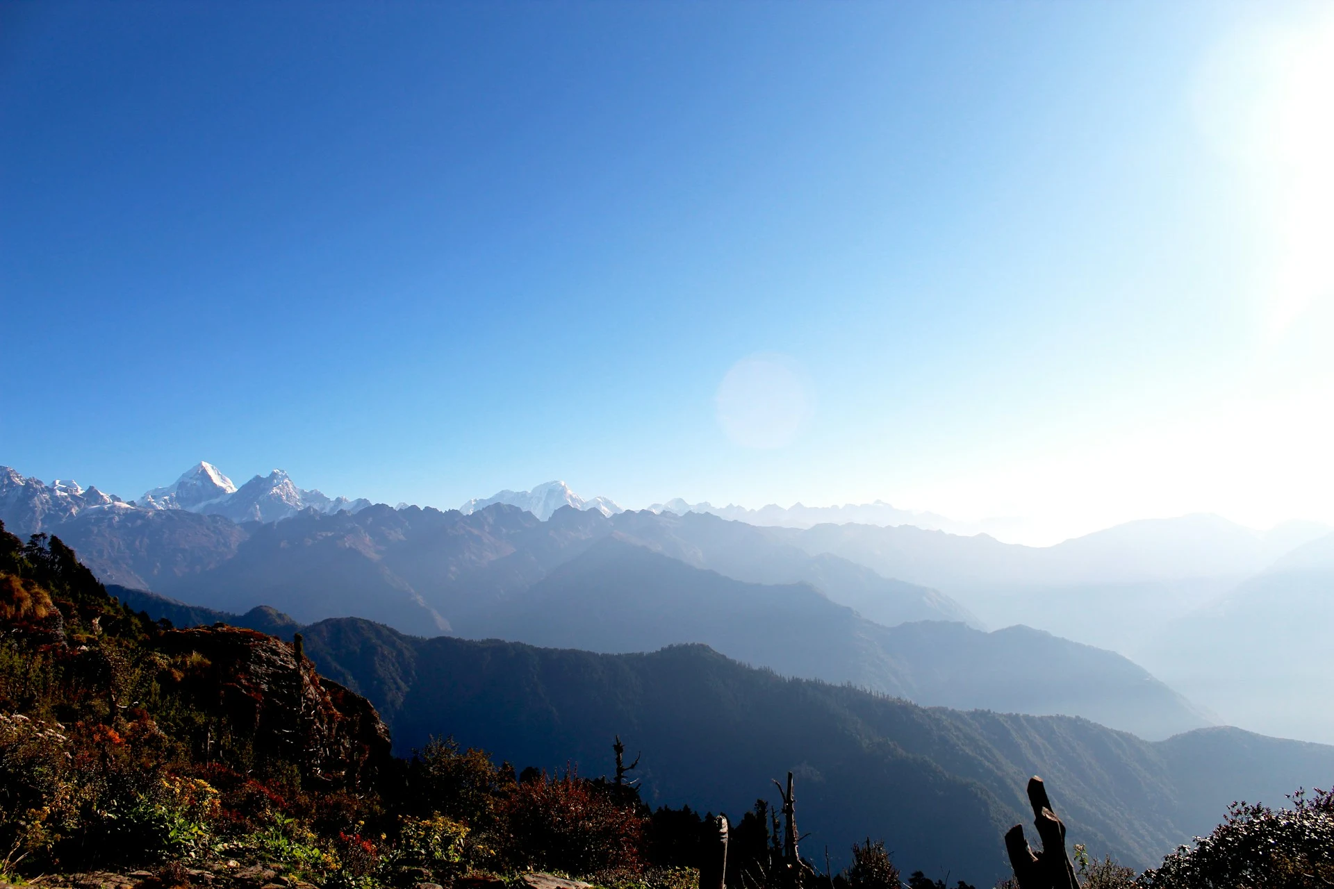
Most travelers treat Kathmandu as a layover — a necessary stop before the mountains. That’s understandable, but it’s also a missed opportunity. The ridges surrounding the valley climb past 2,700 meters into protected forests, past ancient monasteries, and onto viewpoints where Everest, Langtang, and Ganesh Himal appear on clear mornings. You don’t need a domestic flight or weeks of acclimatization. You need a free day and a decent pair of shoes.
This guide covers seven day trails that are genuinely worth your time. Each entry includes specific distances, elevations, transport logistics, and honest guidance on who it suits. At the end, a decision framework and comparison table let you choose the right route for your fitness level and schedule.
Why the Hills Around Kathmandu Are Worth a Day
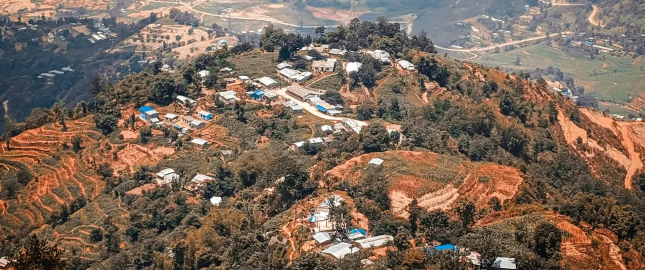
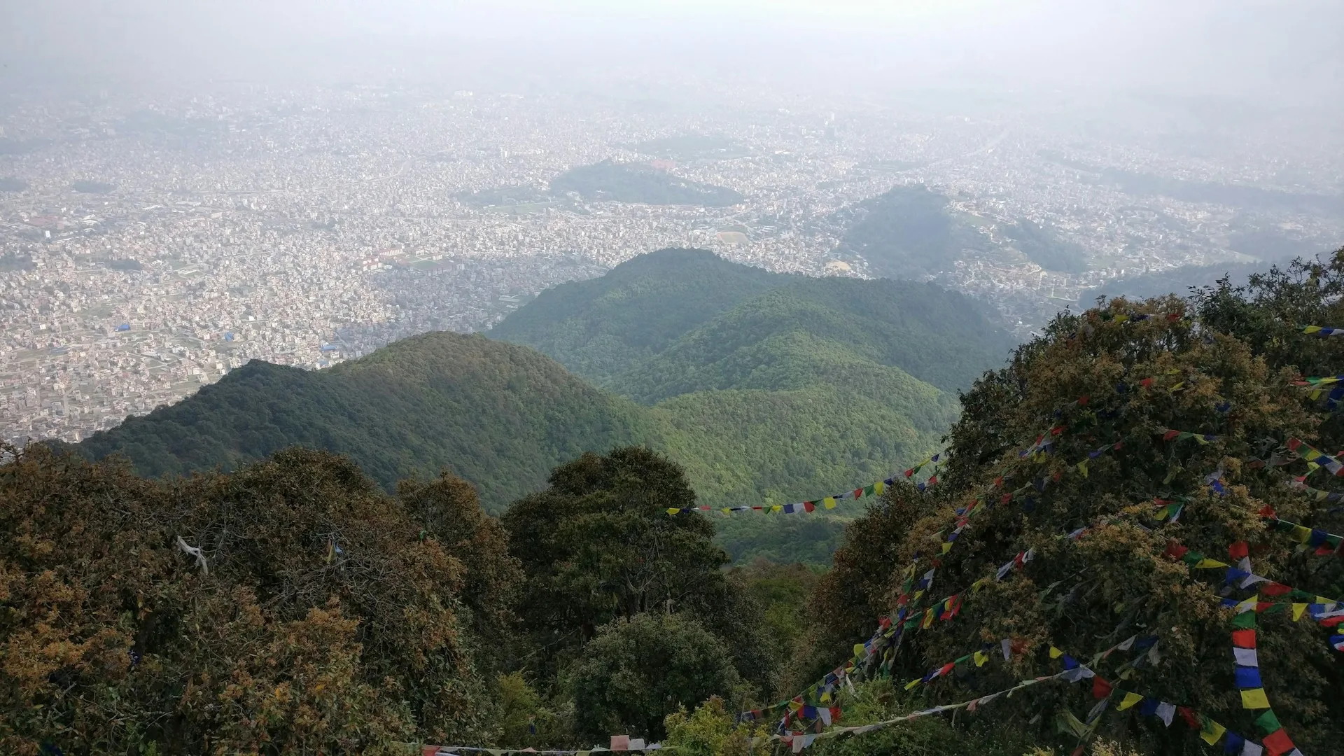
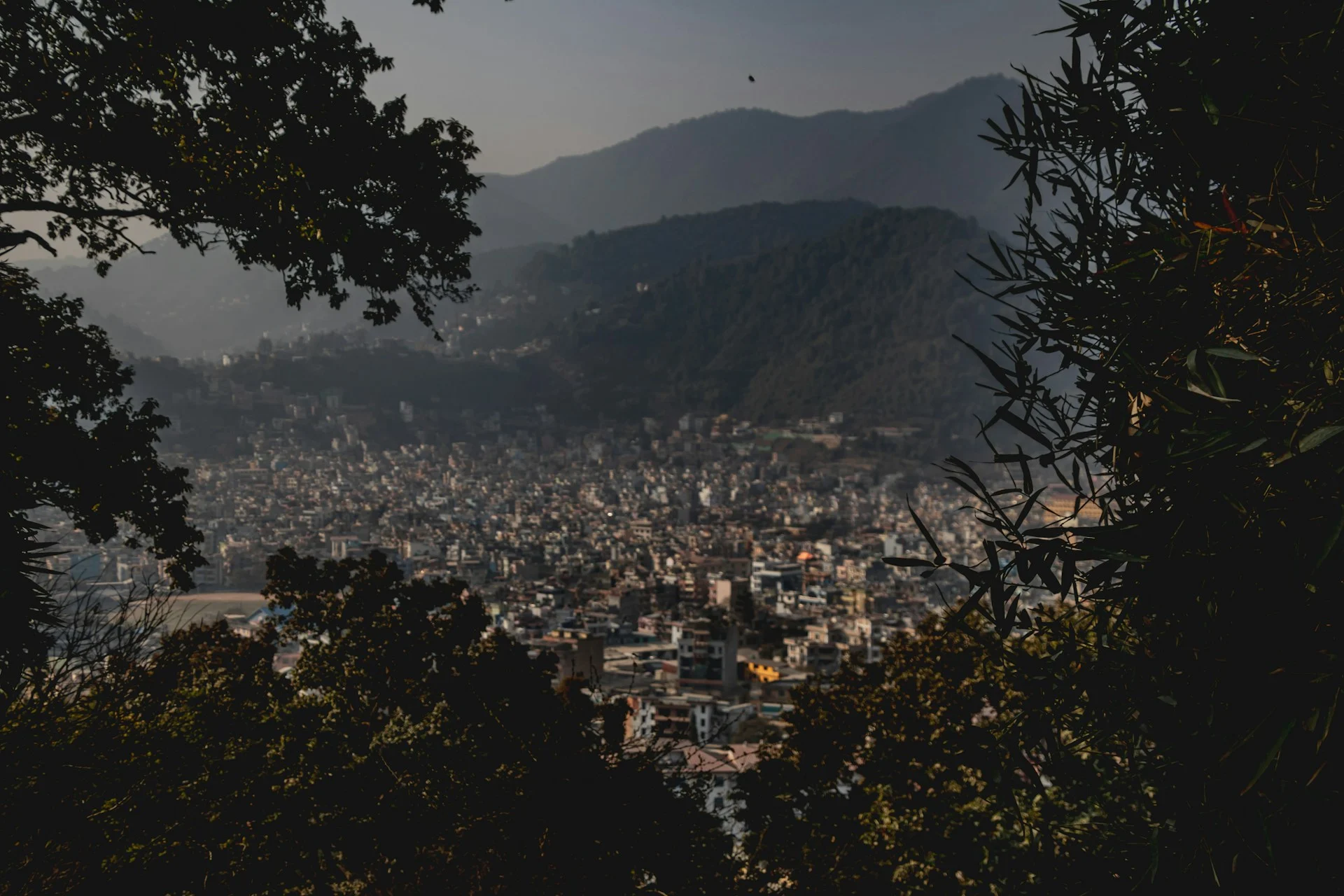
The Kathmandu Valley sits in a bowl at roughly 1,400 meters. The rim of that bowl rises to nearly 2,800 meters, which means you can walk from subtropical forest to cloud forest in a single morning. That geography is rare — most capital cities don’t have rhododendron forests within a 30-minute drive.
The practical advantages are real. No acclimatization days. No sleeping bags or porters. No expedition permits. The trails range from gentle half-day walks to genuine full-day challenges, and they’re used by locals as much as tourists. On weekends, you’ll share the paths with Nepali families, monks, and school groups. On weekdays, you’ll often have entire sections to yourself.
Quick Comparison: Kathmandu’s Best Day Hikes
| Trail | Distance | Max Elevation | Hiking Time | Difficulty | Best For |
|---|---|---|---|---|---|
| Jamacho (Nagarjun) | 8–10 km RT | 2,095 m | 4–5 hrs | Easy | First-time hikers, families |
| Nagi Gompa | 6–8 km RT | 1,800 m | 3–4 hrs | Easy | Half-day, spirituality |
| Champadevi | 10–15 km RT | 2,285 m | 4–6 hrs | Easy–Moderate | Valley views, pilgrimage |
| Nagarkot–Changu Narayan | 12 km one-way | 2,195 m | 4–5 hrs | Easy–Moderate | Sunrise, villages, UNESCO |
| Chandragiri | 8 km one-way | 2,551 m | 3–4 hrs (up) | Moderate | Cable car option, temples |
| Shivapuri Peak | 12 km RT | 2,732 m | 5–6 hrs | Moderate | Forest immersion, challenge |
| Phulchowki | 18–22 km RT | 2,762 m | 6–8 hrs | Moderate–Hard | Birdwatching, biodiversity |
Times are based on average hikers with breaks. Individual pace, weather, and trail conditions will affect durations.
1. Jamacho (Nagarjun) Hike: The Most Accessible Trail Near Kathmandu
If you want to be on a trail within an hour of deciding to go, Jamacho is your best option. The trailhead at Phulbari Gate is a 15–20 minute drive from Thamel, and the route through Shivapuri Nagarjun National Park is well-maintained with stone steps for most of the ascent.
Key details:
-
Distance: 8–10 km round trip
-
Summit elevation: 2,095 meters (some sources cite 2,130m)
-
Time: 4–5 hours round trip
-
Difficulty: Easy
-
Trailhead: Phulbari Gate, Nagarjun Forest Reserve
-
Entry fee: NPR 1,000 for foreign nationals (verify current rate at the gate)
The path climbs steadily through dense subtropical forest. You’ll pass moss-covered trees, hear birdsong throughout, and may spot Kalij pheasants or rhesus monkeys. At the summit, Jamacho Gumba — a Buddhist monastery — sits on the ridge with prayer flags and a view tower. On clear days, the panorama stretches from Annapurna to Langtang, with the entire Kathmandu Valley spread below.
Who it’s for: First-time hikers, families with children old enough to walk for a few hours, anyone wanting a gentle introduction to the valley’s trails.
Who should avoid it: Hikers seeking a serious physical challenge or a long-distance route. The trail is popular on weekends, so solitude-seekers should go on a weekday.
What to prepare for: The trail is shaded for most of the route, which is welcome in warmer months. There are no water sources along the way — carry at least 1.5 liters. The descent is easy on the knees with no steep sections.
2. Nagi Gompa Hike: A Short Forest Walk to a Working Nunnery
Nagi Gompa is the shortest hike on this list and the best choice if you only have half a day. The trail starts from Budhanilkantha — the same entrance as Shivapuri Peak — and climbs gently through oak and pine forest to a working Buddhist nunnery perched on the hillside.
Key details:
-
Distance: 6–8 km round trip
-
Elevation at the nunnery: Approximately 1,800 meters
-
Time: 3–4 hours round trip
-
Difficulty: Easy
-
Trailhead: Budhanilkantha (10 km north of Thamel)
-
Entry fee: NPR 1,000 (Shivapuri Nagarjun National Park entry)
The trail is shaded, well-marked, and suitable for most fitness levels. Nagi Gompa itself is a peaceful place with valley views that make you stop talking for a minute. You can continue beyond the nunnery to Bagdwar — the sacred source of the Bagmati River — or push on to Shivapuri Peak if you have more time and energy.
Who it’s for: Half-day hikers, spiritual seekers, birdwatchers, anyone wanting a gentle walk with a meaningful destination.
Who should avoid it: Those seeking a summit or a full-day physical challenge. The trail doesn’t reach a dramatic peak.
What to prepare for: Carry 1–1.5 liters of water. The nunnery may have tea available, but don’t rely on it. The path is straightforward and easy to follow.
3. Champadevi Hike: Valley Panorama and Pilgrimage
Champadevi is the most popular day hike in Kathmandu Valley, and for good reason. The trail is accessible, the summit offers a full panorama, and the hilltop temple gives the hike a cultural dimension that most day walks lack.
Key details:
-
Distance: 10–15 km round trip (depending on route)
-
Summit elevation: 2,285 meters
-
Time: 4–6 hours round trip
-
Difficulty: Easy to Moderate
-
Trailhead: Near Pharping (19 km southwest of Kathmandu)
-
Entry fee: No national park fee for the standard route
The standard route starts near Pharping and passes through pine and rhododendron forest before climbing to the summit. Champadevi Temple at the top is an active pilgrimage site for both Hindu and Buddhist devotees. On clear days, you can see the full sweep of the Kathmandu Valley — Kathmandu, Patan, and Bhaktapur — as well as the Himalayan ranges to the north and east.
Who it’s for: Moderate fitness levels, photographers, culture enthusiasts, anyone wanting a rewarding half-day or full-day hike.
Who should avoid it: Those with knee problems. The descent includes steep sections on stone steps that can be hard on the joints.
What to prepare for: The upper sections have limited shade. Start early to avoid the afternoon heat. There are tea shops near the trailhead but no reliable water sources on the trail itself. Carry at least 1.5 liters.
4. Nagarkot to Changu Narayan: Sunrise and UNESCO Heritage
This hike starts at Nagarkot, a hill station 32 km east of Kathmandu, and descends through Tamang and Newari villages to Changu Narayan — a UNESCO World Heritage temple dating to the 5th century.
Key details:
-
Distance: 12 km one-way
-
Elevation: 2,195 meters at Nagarkot; 1,541 meters at Changu Narayan
-
Time: 4–5 hours
-
Difficulty: Easy to Moderate
-
Trailhead: Nagarkot (1.5-hour drive from Kathmandu)
-
Entry fee: No national park fee; Changu Narayan temple may have a small entry charge
The hike is mostly downhill, which makes it accessible to most fitness levels. The trail passes through rural villages, terraced fields, and patches of forest. You’ll see farmers working, children walking to school, and traditional Newari architecture. Changu Narayan at the end is the oldest Hindu temple in the Kathmandu Valley, with exceptional stone carvings.
Who it’s for: Culture enthusiasts, photographers, anyone wanting a hike with a clear reward at the end.
Who should avoid it: Those seeking solitude. Nagarkot is a popular tourist destination, especially at sunrise.
What to prepare for: The trail is easy to follow but has uneven sections. Wear shoes with good grip. Carry 1.5 liters of water. If you want sunrise views, leave Kathmandu by 4:00 am.
5. Chandragiri Hike (with Cable Car Option)
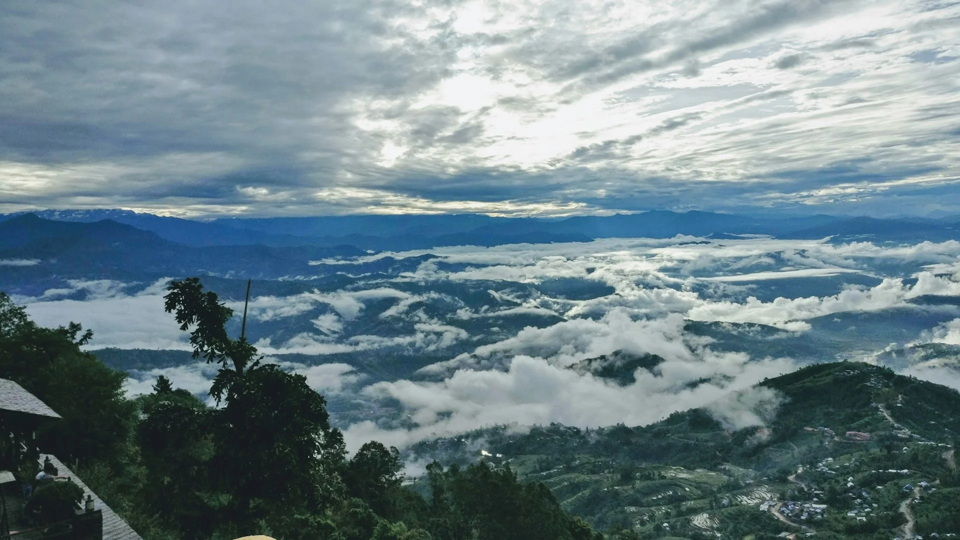
Chandragiri offers something no other hike on this list does: a cable car. You can hike up and ride down, or ride up and hike down. The summit at 2,551 meters has the Bhaleshwor Mahadev Temple and panoramic views of the Kathmandu Valley and Himalayan range.
Key details:
-
Distance: 8 km one-way (hiking)
-
Summit elevation: 2,551 meters
-
Time: 3–4 hours up; 9–14 minutes by cable car
-
Difficulty: Moderate (hiking)
-
Trailhead: Thankot (southwest of Kathmandu)
-
Entry fee: Cable car ticket (varies); no national park fee for the hiking trail
The hiking route climbs through forest and terraced farmland. The cable car provides an “escape hatch” if you’re tired, short on time, or hiking with children. The temple at the top is an active pilgrimage site.
Who it’s for: Families, anyone wanting a hike with flexibility, those who want summit views without a full-day commitment.
Who should avoid it: Purists seeking a full hiking experience without mechanical assistance. Also not suitable for those with a fear of heights if you plan to use the cable car.
What to prepare for: The cable car can be crowded on weekends. Check operating hours before you go — they change seasonally. The hiking trail has some steep sections.
6. Shivapuri Peak Hike: The Most Rewarding Forest Trail
If you want a genuine half-day of hiking rather than a walk, Shivapuri Peak is the best option near Kathmandu. At 2,732 meters, it’s the second-highest hill on the valley rim, and the trail passes through some of the most pristine forest in the region.
Key details:
-
Distance: 12 km round trip
-
Summit elevation: 2,732 meters
-
Time: 5–6 hours round trip
-
Difficulty: Moderate
-
Trailhead: Budhanilkantha (north of Kathmandu)
-
Entry fee: NPR 1,000 for foreign nationals
The trail starts at the Shivapuri Nagarjun National Park entrance near Budhanilkantha Temple. You’ll pass Nagi Gompa and Bagdwar — the source of the Bagmati River — before the final push to the summit. The last section is steep, with a sustained climb through rhododendron and oak forest.
What makes it different: This is a watershed protection zone. The forest is dense, the air is cool, and the sense of being far from the city is genuine. The park is home to 19 species of mammals including Himalayan black bear and leopard, along with 177 bird species and 102 butterfly species. Sightings of large mammals are rare, but the biodiversity is remarkable.
Who it’s for: Fit hikers wanting a challenge without high-altitude risk. Anyone who wants to walk through genuine forest rather than terraced farmland.
Who should avoid it: Beginners, anyone with knee issues, and anyone short on time. The steep stone stairs on the descent can be punishing.
What to prepare for: Carry 2 liters of water. Start early — the park gate opens at 7:00 am, and you want to be down before late afternoon. The final ascent is steep and sustained.
7. Phulchowki Hike: The Valley’s Highest and Most Biodiverse Hill
Phulchowki is the highest hill encircling the Kathmandu Valley, and it’s also the most ecologically significant. More than 300 bird species have been recorded on its slopes, along with over 100 butterfly species and a remarkable diversity of flora.
Key details:
-
Distance: 18–22 km round trip
-
Summit elevation: 2,762 meters (some sources cite 2,782–2,791m)
-
Time: 6–8 hours round trip
-
Difficulty: Moderate to Hard
-
Trailhead: Godawari (14 km southeast of Kathmandu)
-
Entry fee: No national park fee for the standard trail
The hike starts near Godawari National Botanical Garden and climbs through subtropical forest, then oak-rhododendron woodland, and finally moss-draped cloud forest near the summit. In spring (March–April), the hillside is covered in blooming rhododendron — Nepal’s national flower.
What makes it different: Phulchowki is a birdwatcher’s paradise. The spiny babbler — Nepal’s only endemic bird species — is found here, along with the Himalayan cutia and rufous-bellied niltava. The summit has the Phulchoki Mai Temple, a pilgrimage site for the Forest Mother Goddess.
Who it’s for: Birdwatchers, nature photographers, fit hikers who don’t mind a long day on the trail.
Who should avoid it: Casual walkers, families with young children, anyone with knee problems. The length and elevation gain make this the most demanding day hike on the list.
What to prepare for: There are no drinking water sources on the trail. Carry at least 2 liters per person. The descent is long and can be hard on the knees — trekking poles help. Start early; this is a full-day hike.
How to Choose: A Decision Framework
If you have 4 hours or less: Jamacho or Nagi Gompa. Both are short, well-graded, and suitable for beginners.
If you want the best valley views: Champadevi. The panorama covers all three historic cities and the Himalayan range.
If you want culture with your hike: Nagarkot–Changu Narayan. Villages, terraced fields, and a UNESCO temple at the end.
If you want a challenge: Shivapuri Peak or Phulchowki. Both involve sustained climbing and full-day commitment.
If you want flexibility: Chandragiri. The cable car gives you an escape option if you’re tired or short on time.
If you’re hiking with children: Jamacho or Chandragiri. Both have manageable terrain and interesting destinations.
If you’re a birdwatcher: Phulchowki. The biodiversity is unmatched in the valley.
If you want to avoid crowds: Phulchowki or Shivapuri Peak on a weekday. Both are less popular than Champadevi or Nagarkot.
Permits, Fees, and Practical Logistics
Shivapuri Nagarjun National Park Entry Fees
The Nepal Tourism Board lists the following entry fees for Shivapuri Nagarjun National Park:
-
Nepali citizens: NPR 10 per person per entry
-
SAARC nationals: NPR 250 per person per entry
-
Foreign nationals: NPR 250 per person per entry (some sources cite NPR 1,000 — verify at the gate)
This fee applies to the Jamacho, Shivapuri Peak, and Nagi Gompa trails. Phulchowki, Champadevi, Nagarkot–Changu Narayan, and Chandragiri are outside the national park system and do not require a park entry permit.
A TIMS card is not required for day hikes in the Kathmandu Valley.
Fees change. Confirm current rates at the park gate or through the Nepal Tourism Board before your hike.
Getting to Trailheads
| Trailhead | Distance from Thamel | Taxi Cost (approx.) | Local Bus |
|---|---|---|---|
| Phulbari Gate (Jamacho) | 5 km | NPR 300–500 | Microbus from Ratna Park |
| Budhanilkantha (Shivapuri/Nagi) | 10 km | NPR 500–800 | Bus from Ratna Park |
| Pharping (Champadevi) | 19 km | NPR 1,000–1,500 | Bus from Ratna Park |
| Godawari (Phulchowki) | 14 km | NPR 800–1,200 | Bus from Lagankhel |
| Nagarkot | 32 km | NPR 2,000–3,000 | Bus from Bhaktapur |
| Thankot (Chandragiri) | 16 km | NPR 800–1,200 | Bus from Kalanki |
Taxi costs are negotiable. Agree on a price before departure. Local buses are cheaper but slower and less predictable.
Best Season for Hiking Near Kathmandu
October–November: Best overall. Clear skies, moderate temperatures, excellent Himalayan views. This is peak season.
March–April: Second-best. Rhododendrons bloom, temperatures are pleasant, but haze can reduce mountain visibility.
December–February: Cold but clear. Mornings can be foggy in the valley, but ridge views are often excellent.
May: Hot and hazy. Possible but less comfortable.
June–September (Monsoon): Not recommended for most trails. Leeches are active, trails are slippery, and views are obscured by clouds. If you must hike, stick to shorter trails like Jamacho or Nagi Gompa.
What to Pack for a Day Hike
-
1.5–2 liters of water (no reliable water sources on most trails)
-
Trail shoes or sturdy sneakers with good grip
-
Sunscreen and hat
-
Light rain jacket (weather changes quickly)
-
Snacks (energy bars, nuts, fruit)
-
Cash for entry fees, taxi, and tea stops
-
Trekking poles (helpful for Phulchowki and Shivapuri descents)
-
Phone with offline maps or a downloaded trail map
Safety Considerations
-
Trails are generally safe but not patrolled. Tell someone where you’re going and when you expect to return.
-
Solo hiking is possible on all trails listed here, but Phulchowki and Shivapuri Peak are better with a companion.
-
Wildlife exists in Shivapuri Nagarjun National Park (leopards, bears, ghoral). Sightings are rare, but make noise while walking to avoid surprising animals.
-
Monsoon leeches are a nuisance but not dangerous. Wear long socks and tuck trousers into them.
-
Avoid isolated trails after dark. Start early and aim to be back by late afternoon.
When to Consider a Guided Hike
Most day hikes near Kathmandu don’t require a guide. The trails are marked, the routes are well-known, and local people are often on the paths.
That said, there are situations where a guide adds genuine value:
-
You’re unfamiliar with Nepali trails and want reassurance. A guide handles navigation, so you can focus on the experience.
-
You want cultural interpretation. A good guide explains what you’re seeing — the temples, the villages, the forest ecology.
-
You’re hiking solo and prefer company. Guides provide both safety and conversation.
-
You want logistics handled. Transport, permits, and timing are arranged for you.
If you prefer to have logistics handled — transport, permits, and a guide who knows the trails — Merriment Treks arranges private day hikes and multi-day hiking itineraries around the Kathmandu Valley. They can help you choose a route that matches your fitness level, interests, and available time. This is particularly useful if you’re combining a Kathmandu hike with a longer trek and want consistent support. Their local team knows which trails are in the best condition at any time of year and can adjust plans based on weather or your energy levels.
Frequently Asked Questions
1. Do I need a guide to hike near Kathmandu?
No. Most day hikes near Kathmandu can be done independently. Trails are marked or well-used, and locals are often present. A guide is recommended if you’re unfamiliar with the area, want cultural interpretation, or prefer not to handle logistics.
2. How much does a day hike near Kathmandu cost?
If you hike independently: taxi to trailhead (NPR 300–1,500 depending on distance), national park entry (NPR 250–1,000 for Shivapuri trails), and food/water (NPR 200–500). Total: NPR 1,500–3,000 ($12–$25). Guided hikes range from $38 to $199 depending on the operator and inclusions.
3. What is the easiest hike near Kathmandu?
Jamacho (Nagarjun) and Nagi Gompa are the easiest. Both are short, well-graded, and suitable for beginners.
4. What is the highest hill near Kathmandu?
Phulchowki, at approximately 2,762 meters (some sources cite 2,782–2,791 meters).
5. Can I hike near Kathmandu without a permit?
Yes, for trails outside Shivapuri Nagarjun National Park (Phulchowki, Champadevi, Nagarkot–Changu Narayan, Chandragiri). Shivapuri trails require a park entry fee.
6. Is altitude sickness a concern on Kathmandu day hikes?
No. The highest point on any day hike near Kathmandu is below 2,800 meters. Altitude sickness typically begins above 2,500 meters, but day hikes don’t involve sleeping at altitude, which is the main risk factor.
7. What should I wear for a day hike in Kathmandu?
Comfortable hiking shoes or sturdy sneakers layered clothing (mornings can be cool, afternoons warm), and a light rain jacket. Avoid sandals or flip-flops.
8. Is it safe to hike alone in Kathmandu?
Yes, with precautions. Tell someone your route and expected return time. Stick to well-used trails. Avoid isolated trails after dark.
9. Can I hike near Kathmandu during monsoon?
It’s possible but not recommended. Leeches are active, trails are slippery, and views are obscured. If you must hike, stick to shorter trails like Jamacho or Nagi Gompa and wear appropriate footwear.
10. How do I get to the Shivapuri trailhead?
The main trailhead is at Budhanilkantha, about 10 km north of Thamel. You can take a taxi (NPR 500–800) or a local bus from Ratna Park.
11. Are there water sources on Kathmandu hiking trails?
Generally, no. Carry at least 1.5–2 liters per person. Some trails have tea shops near the trailhead, but don’t rely on finding water mid-trail.
12. What wildlife might I see on Kathmandu hikes?
In Shivapuri Nagarjun National Park: birds (177 species), butterflies (102 species), and occasionally ghoral. Leopards and Himalayan black bears are present but rarely seen.
13. Can I combine multiple hikes in one day?
Yes. Champadevi can be combined with Chandragiri (hike one, cable car the other). Nagi Gompa can be combined with Shivapuri Peak if you have the energy.
14. What is the best time of day to start a hike?
Early morning. Trails are cooler, quieter, and you have more buffer time before afternoon haze or clouds reduce views. Aim to start by 7:00–8:00 am.
15. How difficult is the Phulchowki hike?
Phulchowki is the most demanding day hike on this list: 18–22 km round trip with a sustained ascent. It’s suitable for fit hikers who are comfortable walking for 6–8 hours. Not recommended for beginners or anyone with knee problems.