Langtang Valley Trek elevation is the defining factor that determines whether this journey is a pleasant adventure or a physical struggle. Unlike many commercial treks that push you to sleep above 5,000 meters, Langtang offers a unique physiological advantage: you can climb high during the day but retreat to a relatively low sleeping altitude at night.
In this 2026 guide from Merriment Treks, we decode the exact numbers of the Langtang vertical profile. We look at the altitude of every major stop, the differences between the two famous viewpoints (Kyanjin Ri and Tserko Ri), and how to manage your body’s reaction to the thinning air.
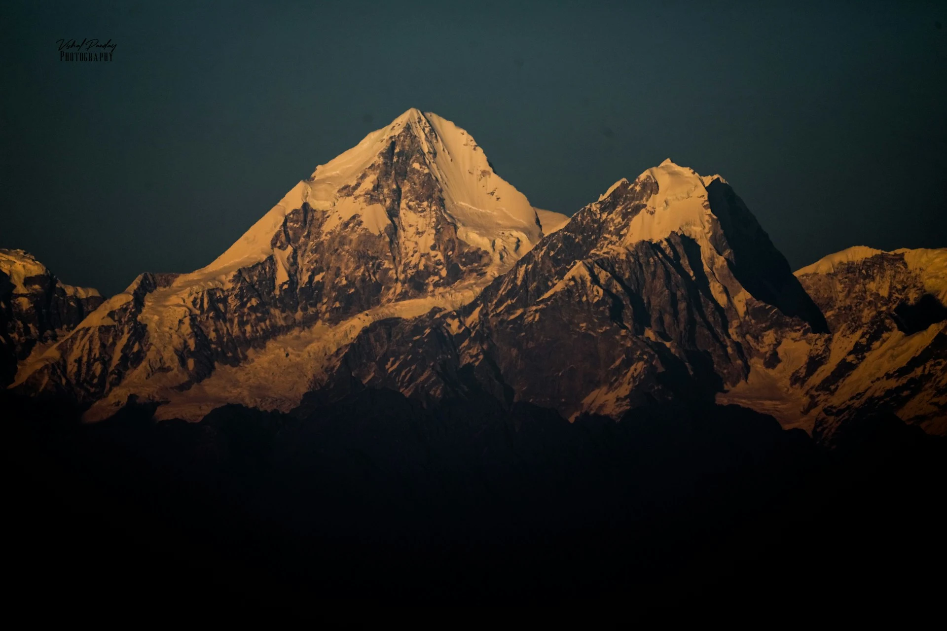
The Elevation Blueprint: Understanding Langtang’s Vertical Profile
Langtang Valley trek elevation is often misunderstood because trekkers confuse “sleeping altitude” with “maximum hiking altitude.” To trek safely, you must separate the two.
The trailhead begins at Syaphrubesi (1,500m) . The standard trek concludes at the valley’s cultural heart, Kyanjin Gompa (3,870m) . This is your highest sleeping altitude on the classic itinerary. However, the highest points of the trek require day hikes from Kyanjin Gompa.
-
Kyanjin Ri Elevation: 4,773 meters (15,655 feet).
-
Tserko Ri Elevation: Approximately 4,984 meters (16,350 feet), often rounded up to 5,000 meters.
This structure—sleeping low and climbing high—is the secret to Langtang’s safety record. It allows your body to recover overnight at a height where oxygen is still relatively dense, while still giving you the thrill of touching 5,000 meters during the day.
Why the “Sleep Low, Climb High” Model Matters for Langtang
The human body does not acclimatize instantly. When you ascend above 3,000 meters, your kidneys begin producing a hormone called erythropoietin (EPO), which stimulates red blood cell production. However, this process takes days, not hours. The Langtang Valley Trek elevation profile is beautifully designed for this biology.
When you sleep at Kyanjin Gompa (3,870m) , your body is under mild hypoxic stress. It responds by increasing your breathing rate slightly and boosting red blood cell counts. But because you are not at 4,500m or 5,000m overnight, you avoid the severe oxygen desaturation that causes dangerous AMS.
The next morning, when you climb to Kyanjin Ri (4,773m) or Tserko Ri (4,984m) , you enter a zone of significantly lower oxygen. But you do not stay there. By late afternoon, you are back at 3,870m, where your body can recover. This pattern—stress during the day, recovery at night—is exactly how professional mountaineers train their bodies for extreme altitude. Langtang allows everyday trekkers to experience this without the danger of sleeping in the “death zone” or even the “high altitude zone.”
The Oxygen Math: What Happens to Your Body
At sea level, the air contains approximately 21% oxygen. This percentage does not change with altitude. What changes is barometric pressure—the weight of the air pressing down on you. As you ascend the Langtang Valley Trek altitude gradient, the pressure drops, meaning each breath contains fewer oxygen molecules.
Consider these figures:
-
At Syaphrubesi (1,500m) , you are breathing roughly 85% of sea-level oxygen.
-
At Ghoda Tabela (3,030m) , that drops to about 70%.
-
At Kyanjin Gompa (3,870m) , you are inhaling only 62% of the oxygen you would get at home.
-
At the summit of Tserko Ri (4,984m) , oxygen availability drops to roughly 53%.
This is why walking at 3,800m feels twice as hard as walking at 1,500m, even on flat ground. Your muscles are literally starving for oxygen. The body compensates by increasing heart rate and breathing rate. This is also why you feel exhausted even after a short climb to the viewpoint.
The Role of Acclimatization Days in the Elevation Plan
Many budget itineraries rush the Langtang Valley Trek elevation by skipping the rest day at Kyanjin Gompa. This is a mistake. The rest day is not optional; it is a medical necessity for most people.
During your rest day at Kyanjin Gompa (3,870m) , your body is working hard internally even if you are sitting in a teahouse drinking tea. Your bone marrow is ramping up red blood cell production. Your kidneys are adjusting your acid-base balance. Your brain is monitoring carbon dioxide levels.
If you attempt to climb Kyanjin Ri (4,773m) the morning after arriving at Kyanjin Gompa, you are attacking a 900-meter vertical gain on a body that has not yet adapted. The result is often a punishing headache, nausea, and extreme fatigue. In some cases, this can spiral into Acute Mountain Sickness that forces a complete descent.
Merriment Treks insists on a full rest day at Kyanjin Gompa. We use this day for short acclimatization walks—climbing 200 to 300 meters above the village and then descending back to sleep. This “climb high, sleep low” micro-strategy accelerates the acclimatization process.
Day-by-Day Langtang Elevation Gain: How the Air Thins
Langtang Trek elevation gain is not just about the net difference from start to finish; it is about the cumulative ups and downs that tire your legs and lungs. Here is how the altitude profile plays out on the standard itinerary used by Merriment Treks.
Day 1: Syaphrubesi to Lama Hotel (1,500m to 2,450m)
Langtang Trek height begins to change rapidly on day one. You gain nearly 1,000 meters of net elevation, but because the trail follows the Bhote Koshi river, you will actually climb much more than that.
At this altitude, the air is still thick and oxygen-rich. You will not feel the altitude here. Instead, the challenge is cardiovascular fatigue. This is a day of steep stone staircases and sweaty climbing through lush forests. You sleep at Lama Hotel (2,450m) , where there is zero risk of altitude sickness.
Day 2: Lama Hotel to Ghoda Tabela (2,450m to 3,030m)
You cross the 3,000-meter barrier today. This is the threshold where altitude sickness becomes possible, though rare. Langtang Valley elevation gain slows here.
The forest thins out, and the air becomes noticeably cooler and drier. You are walking through rhododendron and pine forests, emerging into wider glacial valleys. At Ghoda Tabela (3,030m) , you are still below the tree line, but your body is beginning to work harder for oxygen. You might notice you need to pause for breath after a steep section. This is normal; it is not AMS.
Day 3: Ghoda Tabela to Langtang Village (3,030m to 3,430m)
Langtang Valley Trek altitude reaches a critical physiological zone today. You are now sleeping above 3,400 meters.
The landscape turns stark and rocky. The devastating 2015 earthquake zone is visible here, but the rebuilt village of Langtang (3,430m) stands resilient. Your breathing at rest is still normal, but your sleeping might be slightly disturbed. Some trekkers report vivid dreams or waking up more frequently. This is your body adjusting to the lower oxygen levels.
Day 4: Langtang Village to Kyanjin Gompa (3,430m to 3,870m)
This is usually a short day—just 3 to 4 hours of walking. The Langtang Valley Trek elevation gain is about 440 meters.
You cross a wide, sandy riverbed left by the receding Lirung Glacier. The walls of the valley close in, and you see Langtang Lirung (7,234m) towering overhead. When you reach Kyanjin Gompa (3,870m) , the air is thin enough to matter. Simple actions—tying your boots, standing up from a chair—make you pause. You are now at the highest bed of the trek.
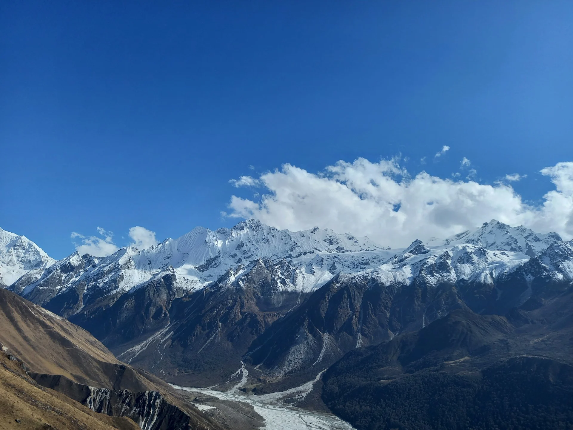
The High Point Dilemma: Kyanjin Ri vs. Tserko Ri
Langtang Valley Trek highest point depends entirely on your ambition and your body’s adaptation. You have two options from Kyanjin Gompa, and they are not equal.
Option 1: Kyanjin Ri (4,773m) — The Achievable Peak
Kyanjin Ri elevation of 4,773 meters makes it one of the most popular day hikes in Nepal. The climb is steep but manageable.
You gain approximately 900 meters from Kyanjin Gompa. The trail zigzags up a grassy and rocky ridge directly behind the village. Most trekkers complete the ascent in 3 to 4 hours. At the top, you are rewarded with a 360-degree panorama of the Langtang Himal. You look directly at the massive south face of Langtang Lirung and down into the deep glacial valley below.
Option 2: Tserko Ri (4,984m) — The Brutal Summit
Tserko Ri elevation is a subject of debate. Older maps list it at 5,033 meters, while modern GPS surveys and the National Park signage often cite 4,984 meters.
We use the figure of 4,984 meters for practical planning. The climb is a different beast compared to Kyanjin Ri. It requires a pre-dawn start, often leaving at 3:00 AM. The route is longer, steeper, and involves loose scree. You gain over 1,100 meters.
The view from Tserko Ri is undeniably superior—you see the curvature of the valley and the vast ice fields. However, if you are feeling the altitude at all, do not attempt it. The risk of AMS is significantly higher here, and the descent can be brutal on fatigued knees.
Making the Smart Choice: A Decision Framework
Many trekkers feel pressure to climb Tserko Ri because they think it is “the” summit of the Langtang trek. This is a misconception. The Langtang Valley Trek is a valley trek, not a peak-bagging expedition. The goal is to experience the high Himalaya safely, not to tick a box.
Here is a practical decision framework used by Merriment Treks guides:
Choose Kyanjin Ri (4,773m) if:
-
You slept poorly at Kyanjin Gompa.
-
You have a mild headache or loss of appetite.
-
You want to save energy for the descent back down the valley.
-
You are a first-time high-altitude trekker.
Choose Tserko Ri (4,984m) only if:
-
You feel completely healthy and well-rested.
-
You have previous experience above 4,500m.
-
Your pulse oximeter reading is above 90% at rest.
-
You are mentally prepared for a 7-8 hour day with significant exposure.
There is no shame in choosing Kyanjin Ri. The view is spectacular, and the experience is identical in terms of “being high.” The extra 200 meters of Tserko Ri only matters to people who care about numbers more than experience.
Acute Mountain Sickness (AMS) and Altitude Management
Any article about Langtang Trek altitude must address the elephant in the room: Acute Mountain Sickness. Merriment Treks prioritizes safety over summit success.
The reason Langtang is considered a “beginner-friendly” high-altitude trek is not because it is flat—it is because the sleeping altitude (3,870m) is lower than the threshold where severe AMS becomes common. However, AMS can strike anyone, regardless of fitness or age.
Symptoms to Watch:
-
Mild: Headache, nausea, loss of appetite, dizziness, poor sleep. These are common and usually resolve with rest and hydration.
-
Severe: Confusion, loss of coordination (staggering), shortness of breath at rest, persistent cough, or a headache that does not respond to painkillers.
The Golden Rule: If symptoms are worsening, you must descend immediately. Do not wait until morning. Descent is the only definitive treatment for AMS.
Acclimatization on Langtang:
The key to handling the Langtang Valley Trek elevation is to build in a rest day at Kyanjin Gompa. This is not a lazy day; it is an “active rest” day.
-
Walk High, Sleep Low: Hike up towards Kyanjin Ri or just climb a small hill for an hour, then return to Kyanjin Gompa to sleep. This forces your body to produce more red blood cells.
-
Hydration: Drink at least 3-4 liters of fluid per day. The dry mountain air dehydrates you rapidly, and dehydration mimics AMS symptoms.
-
Avoid Alcohol and Sleeping Pills: Both depress your respiratory rate, making it harder for your body to oxygenate at night.
The Role of Pulse Oximeters in Modern Trekking
In 2026, pulse oximeters have become standard equipment on the Langtang route. These small devices clip onto your fingertip and measure your blood oxygen saturation (SpO2). At sea level, your SpO2 should be 95-100%. At Kyanjin Gompa (3,870m) , a resting reading of 85-90% is normal and expected.
Merriment Treks guides carry pulse oximeters and check every trekker twice daily—once in the morning and once before dinner. This data is not just for reassurance; it is a predictive tool. If your SpO2 drops below 80% at rest, or if it does not improve after a night of sleep, it is a warning sign that you are not acclimatizing well. In such cases, we adjust the itinerary, delay the high viewpoint hike, or recommend descent.
This objective measurement removes the guesswork from altitude management. You do not have to wonder if you are “just tired” or genuinely struggling with altitude. The numbers tell the story.
Elevation and Physical Difficulty: Is Langtang Hard?
Langtang Valley Trek elevation makes the route “moderate” in difficulty, but only if you respect it. The hardest physical day is usually Day 1 (Syaphrubesi to Lama Hotel) because of the steep ascent and the massive elevation gain. The hardest “altitude” day is the day hike to the high viewpoints.
You do not need to be a mountaineer to complete this trek. However, you do need cardiovascular fitness. Before you travel, train by hiking on hills or climbing stairs. The ability to walk for 5-6 hours without collapsing is more important than raw strength.
The Hidden Challenge: Sleeping at Altitude
One aspect of Langtang Valley Trek elevation that is rarely discussed is the quality of sleep. At 3,870 meters, many people experience something called “periodic breathing.” This is a condition where your breathing stops for 10-15 seconds during sleep, then resumes with a gasp. It happens because your brain is struggling to balance oxygen and carbon dioxide levels in the thin air.
Periodic breathing is not dangerous by itself, but it is unsettling. It can make you feel like you are suffocating, leading to anxiety and poor rest. Here is how to manage it:
-
Sleep Propped Up: Use your backpack or extra pillows to elevate your head and chest. This reduces pressure on your diaphragm.
-
Hydrate Before Bed: A glass of water helps keep your mucous membranes moist, making breathing easier.
-
Avoid Caffeine After Lunch: Stimulants interfere with the sleep cycle at altitude.
-
Relax: Periodic breathing is normal. Do not panic. Your body is doing what it is designed to do.
How Langtang Compares to Other Treks
Langtang Valley Trek elevation offers a unique risk-to-reward ratio compared to the giants of Nepal.
| Trek | Highest Sleeping Altitude | Highest Point |
|---|---|---|
| Langtang Valley | 3,870 m (Kyanjin Gompa) | 4,984 m (Tserko Ri) |
| Annapurna Base Camp | 4,130 m | 4,130 m |
| Everest Base Camp | 5,164 m (Gorak Shep) | 5,545 m (Kala Patthar) |
| Manaslu Circuit | 4,460 m (Dharamsala) | 5,106 m (Larkya Pass) |
| Upper Mustang | 3,810 m (Lo Manthang) | 4,230 m (optional passes) |
Langtang allows you to experience the majesty of the high Himalaya without the brutal sleeping altitudes of Everest or the long logistical demands of Manaslu. It is the ideal choice for trekkers who want to test their altitude tolerance in relative safety.
A Note on the 2026 Road Conditions
A critical aspect of the Langtang Valley Trek elevation that many international articles ignore is the access road. The drive from Kathmandu to Syaphrubesi has historically been treacherous—a winding mountain road with sheer drop-offs. In 2026, the road has improved significantly in some sections, but the final stretch remains rough.
The drive takes 7-9 hours depending on traffic and road conditions. Some trekkers choose to fly to Syaphrubesi via a helicopter shuttle, but this is expensive. Others break the journey with an overnight stop in Dhunche or Trishuli. Merriment Treks monitors road conditions daily and advises clients on the safest and most comfortable option for their specific travel dates.
Planning Your Langtang Ascent
The Langtang Valley Trek elevation profile is a challenge, but it is a manageable one. With the right pace, the right hydration, and a properly structured itinerary, most healthy people can stand at 4,773 meters and look down at the world below.
At Merriment Treks, we build our itineraries around safe acclimatization practices. We do not rush the ascent, and we schedule rest days where they matter most. If you want to understand how your own fitness level matches this elevation profile, we are here to provide honest advice and current 2026 trail conditions.
Frequently Asked Questions
1. How high is the Langtang Valley Trek elevation?
The highest sleeping point is Kyanjin Gompa at 3,870 meters. The maximum height reached on a day hike is Tserko Ri at approximately 4,984 meters.
2. What is the highest sleeping altitude on the Langtang Trek?
The highest bed is at Kyanjin Gompa, 3,870 meters. This relatively low sleeping altitude is why the trek is considered safer than Everest Base Camp.
3. What is the elevation of Kyanjin Gompa?
Kyanjin Gompa sits at 3,870 meters (12,697 feet). It is the central hub for acclimatization and side hikes.
4. How high is Kyanjin Ri?
Kyanjin Ri is 4,773 meters high. It is a steep but achievable day hike from Kyanjin Gompa.
5. How high is Tserko Ri?
Tserko Ri elevation is commonly cited as 4,984 meters. Some sources round it up to 5,000 meters or use older survey data of 5,033 meters. It is the most difficult day hike on the trek.
6. Which is higher: Kyanjin Ri or Tserko Ri?
Tserko Ri (4,984 m) is higher than Kyanjin Ri (4,773 m) by approximately 200 meters.
7. Is the Langtang Trek high altitude?
Yes. You spend multiple days above 3,000 meters and sleep above 3,800 meters. Altitude sickness prevention is essential.
8. Can a beginner handle the Langtang Valley Trek elevation?
Yes. The gradual ascent and low sleeping altitude make it suitable for fit beginners. However, you must walk slowly and hydrate.
9. What is the elevation gain from Syaphrubesi to Kyanjin Gompa?
The net elevation gain is 2,370 meters. The cumulative elevation gain including all ups and downs is much higher, often exceeding 4,000 meters.
10. Do I sleep at 5,000 meters on Langtang?
No. The highest sleeping altitude is 3,870 meters. You only reach 5,000 meters during the daytime climb to Tserko Ri.
11. Will I get altitude sickness in Langtang?
There is always a risk above 3,000 meters, but the risk is lower than on treks that sleep higher. Follow proper pacing and stay hydrated.
12. What is the best time to trek Langtang for elevation safety?
October-November and March-April. The weather is stable, and the trails to the high viewpoints are dry and safe.
13. How does Langtang elevation compare to Everest Base Camp?
Langtang’s sleeping altitude is approximately 1,300 meters lower than Gorak Shep on the EBC trek. This makes recovery easier.
14. Why is a rest day at Kyanjin Gompa important for the elevation?
It allows your body to acclimatize. Sleeping at 3,870 meters for an extra night triggers red blood cell production, preparing you for the high viewpoints.
15. Does Merriment Treks provide guides who understand altitude sickness?
Yes. All guides are trained in wilderness first aid and AMS recognition. They carry pulse oximeters to monitor blood oxygen levels daily.